Services
What I can do for you
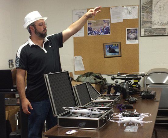
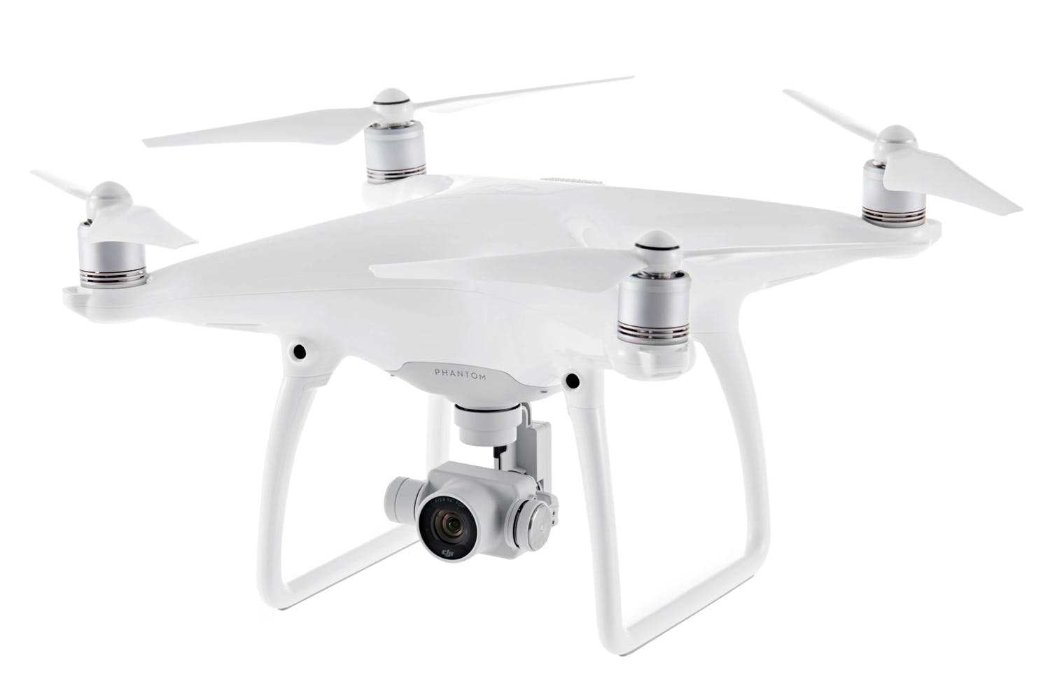
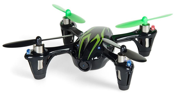
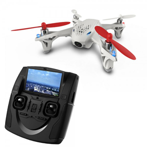
Hands on practice and expert guidance can help you learn to fly safely and quickly. No matter what your age, a little knowledge goes a long way.
Training / Education
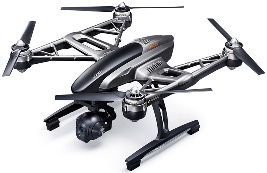
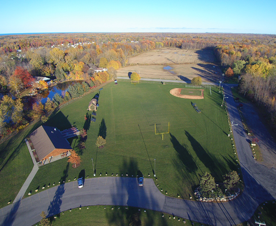
Look at your marketing collaterals from a different angle. Affordable aerial photography can breathe new life into your website, brochure, calendar, or special event advertising campaign with high resolution photos and videos.
Marketing / Sales
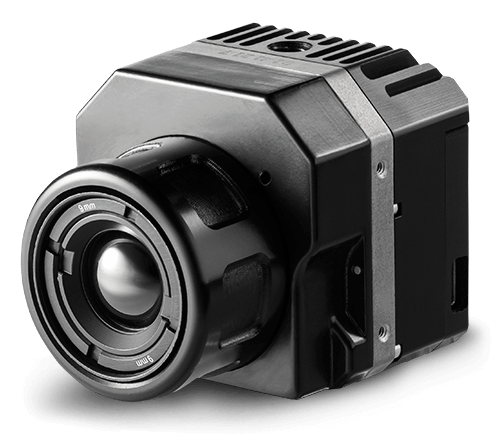
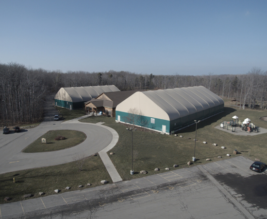
Facilities management can be simplified through periodic aerial surveying. Extend the life of your infrastructure. High resolution thermal imaging makes short work of colar panel, power line, water facility, and structural inspections.
Commercial / Industrial
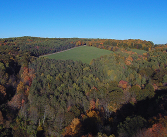
For hunting property security, agricultural monitoring, and livestock or wildlife management, high resolution aerial imaging can reduce time in the field and increase productivity.
Acerage / Agricultural
Put the power of aerial cinematography in the palm of your hand. Views that used to require helicopters and cranes can now go from your imagination to digital reality in the time it takes to simply frame the shot.
Private / Production
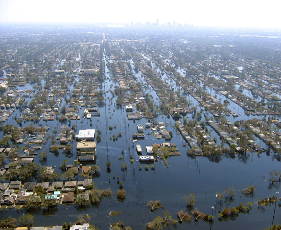
When disaster strikes, swift response and up to date information is key. sUAS mounted thermal imaging can quickly and reliably document structural damage, as well as assist authorities in locating at risk or lost individuals.